Precision Mapping
From Above
Revolutionize your surveying operations with high-precision mapping drones. From topographic surveys to 3D modeling, achieve survey-grade accuracy while reducing time and costs.
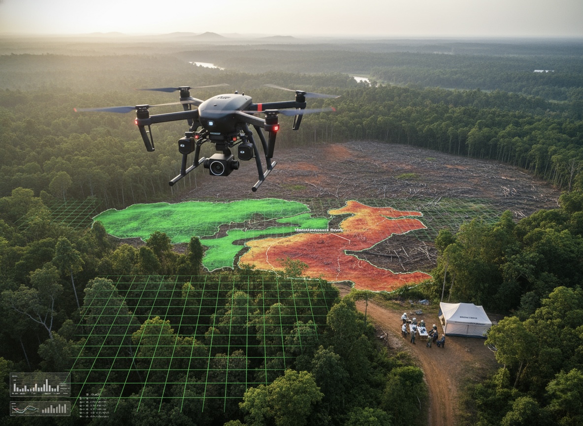
Advanced Drone Forest Mapping for Deforestation & Conservation
High-res drone surveys to monitor forests and track deforestation.
Surveying Drone Products
Professional surveying drones designed for high-precision mapping and data collection
Survey Revolution Benefits
Transforming traditional surveying with enhanced speed, accuracy, and cost-effectiveness
Increased Efficiency
Survey large areas 60x faster than traditional ground-based methods
Reduced Field Work
Minimize dangerous fieldwork and access remote or hazardous areas safely
Enhanced Accuracy
Capture thousands of data points for more accurate and detailed surveys
Cost Effectiveness
Reduce survey costs while increasing data quality and project turnaround
Surveying Applications
Comprehensive mapping solutions for every professional surveying requirement